- Planning allowance
- 1–2 hours + return
- Underfoot
- Steep steps & stone
- First decision
- Where will you finish?
Begin with the exit.
Start in Ston if you want to see the salt pans and Veliki Kaštio before the climb. Finish in Mali Ston for the harbour and lunch by the water. At the ticket entrance, confirm the open route and exit for that day, then keep your return to Ston in mind.
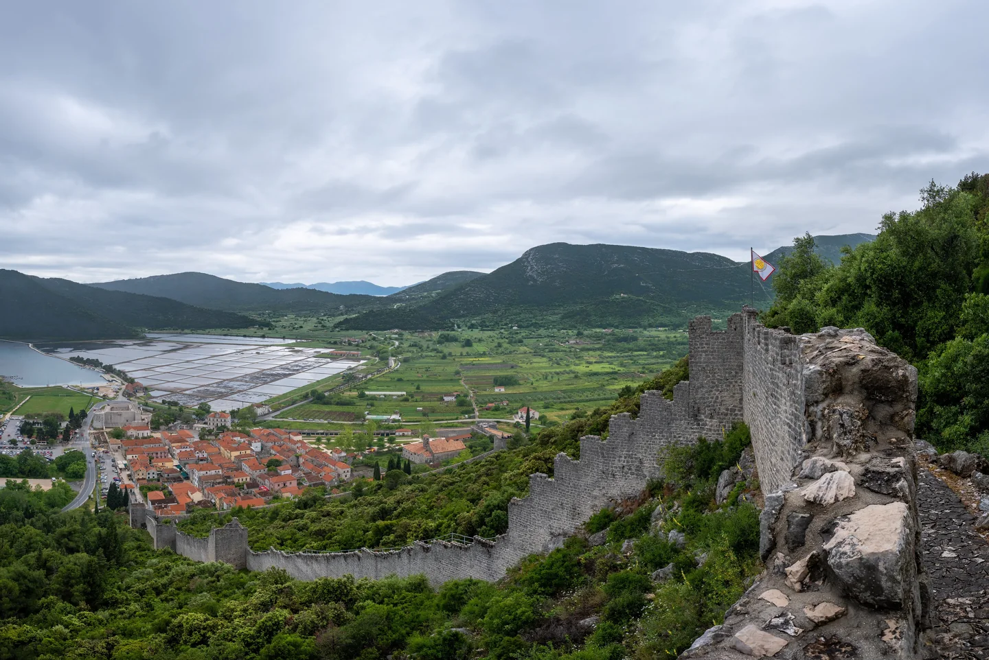
Use the official town map to identify the Franciscan monastery on Ston’s western side, Kula nad Vodom to the east and Koruna above Mali Ston. These landmarks help you understand the landscape before stepping onto the walls.
Choose the shape of your day.
The Ston Tourist Board gives approximate walking times of 20 minutes around Ston and 40 minutes from Ston to Mali Ston. Treat these as basic route guidance. Our more generous 1–2 hour allowance leaves room for the climb, photographs and pauses; your return between towns is additional.
| Wall walk | Tourist board guidance | Planning advice |
|---|---|---|
| Around Ston | About 20 minutes | A shorter option, still with steep steps. |
| Ston → Mali Ston | About 40 minutes | Finish by the harbour; plan the return separately. |
| Town & waterfront | At your own pace | An alternative to climbing; surfaces and individual steps vary. |
A half-day, without the rush.
An editorial suggestion: allow roughly 3–4 hours for the towns, walls and return. Add time for lunch or a saltworks tour.
Find your bearings in Ston
Start with the town streets, Veliki Kaštio and the edge of the salt pans. Decide which wall route suits your day.
Take your time above the rooftops
Allow 1–2 hours for your chosen wall visit, with pauses for the views. Confirm the open route at the entrance.
Pause at Mali Ston’s harbour
If you finish in Mali Ston, allow 30–45 minutes for the waterfront, Toljevac and the view back to Koruna.
Return on your own schedule
Use the town map for the road connection or arrange transport. Keep time for your bus departure; wall tickets do not allow re-entry.
A historic length is not a walking distance.
Published figures describe different parts and periods of the fortifications. DPDS describes the original complex as about 7 km and the historic connecting Big Wall as 1,200 m. Neither figure should be used as the length of your available visitor route.
The tourist board’s map places Mali Ston about 1 km from Ston along the road connection. Use it to orient yourself between towns. This is separate from the stepped route over the walls.
Leave room for the way back.
If your car or bus is in Ston, ending in Mali Ston is only part of the journey. Use the official street map to plan a return on public ways or arrange transport. Do not depend on re-entering the paid walls: the operator’s code states that a ticket is for one tour without re-entry.
Carry water, wear shoes with grip and keep children close on the steps. Pause at wider points without blocking others. For a relaxed day, make the walls your main morning activity and leave the harbour meal flexible.
Plan your visit